


Aerial Photography Services
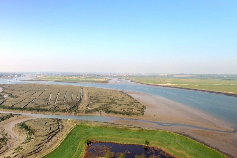
Over recent years, drones or UAV (Unmanned Aerial Vehicle) technology has been emerging as a very useful and cost effective resource when there is a need for aerial surveys or photography.
Compared to traditional methods used for aerial surveying such as helicopters, scaffolding and cherry pickers, drones can be deployed quickly at far less cost, with less site disruption and better overall safety.
High Quality Imaging
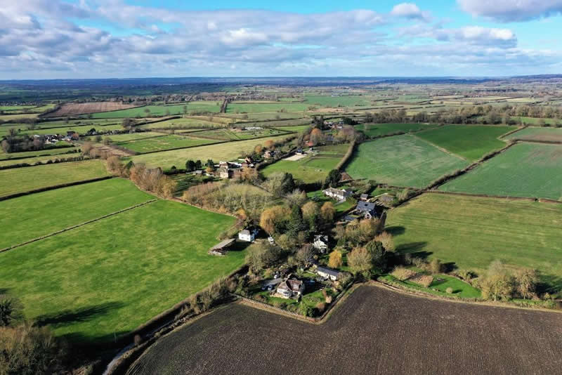
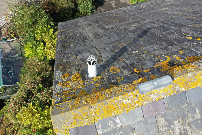
The high quality imaging systems on modern drones can provide high quality and fine detailed images both close up and from a distance. This allows very informative and detailed data to be collected when used as part of any aerial survey.
We use a range of state of the art DJI drones, all capable of shooting in 4K/60fps video.
At Photo Beez we can provide a variety of UAV services to suit your needs.
Pricing
We quote all of our work on an individual basis as every job varies in size and complexity.
All of our quotes will include insurance, risk assessment, supply of drone and a CAA certified pilot.
Please note that work is subject to weather conditions on the day as well as other safety factors relating to the site. Some work may require special permissions from the local controlling air authority, such as at sites which are close to an airport or other restricted airspace.
Aerial Photography & Filming
- General aerial photography & video.
- Aerial views for estate agents.
- Marketing photographs.
Aerial Surveys
- Wildlife & ecological habitat surveys.
- Structural Inspections, eg roof, buildings, bridges, pylons, etc.
- GPS position data collection.
- Asset management.
- Search & rescue.
Aerial Monitoring
- Flood monitoring of coastal & river areas.
- Field & crop monitoring.
- Construction monitoring.
